
7.15.4 Line Navigation
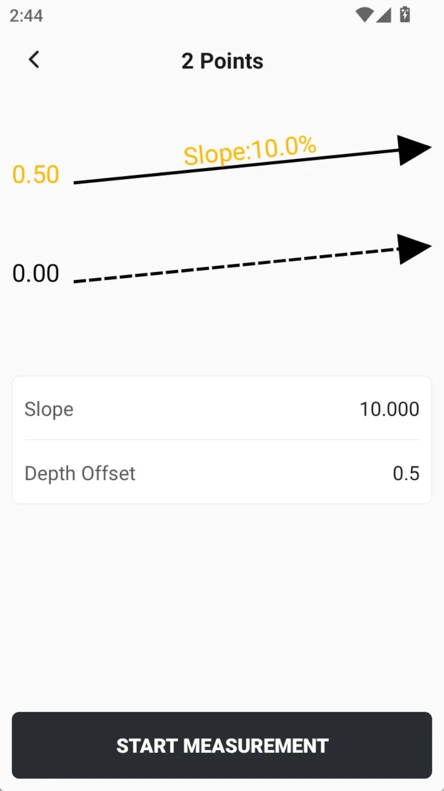
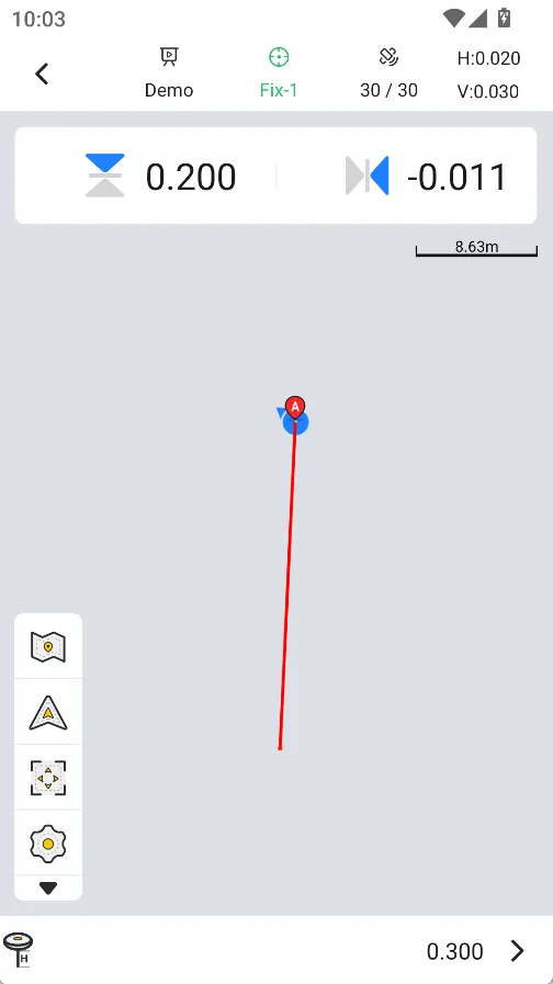
The line navigation function is used for on-site inspection and review of the target operation line. Users can quickly establish a target reference line by measuring the starting and ending points, setting the slope and elevation offset. During the operation process, the system will display the elevation deviation of the current position relative to the reference line and the left and right deviations on the plane in real time, which is convenient for users to judge whether the current point meets the target requirements.
This function can be used for terrain survey and operation preparation before construction, as well as for result re-measurement and acceptance after construction. Compared with relying on construction machinery for on-site verification, using RTK equipment can more flexibly inspect the target operation line on the construction site, improve verification efficiency, and reduce on-site verification costs.
 |  |  |
Note:
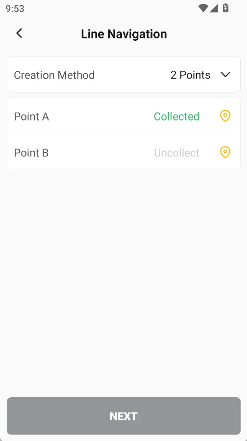
1. There are two ways to create a straight line: 2 points, or 1 point + direction.
2. The points defining the straight line must be collected on site and cannot be selected from the point library.