
7.15.3 Leveling Survey
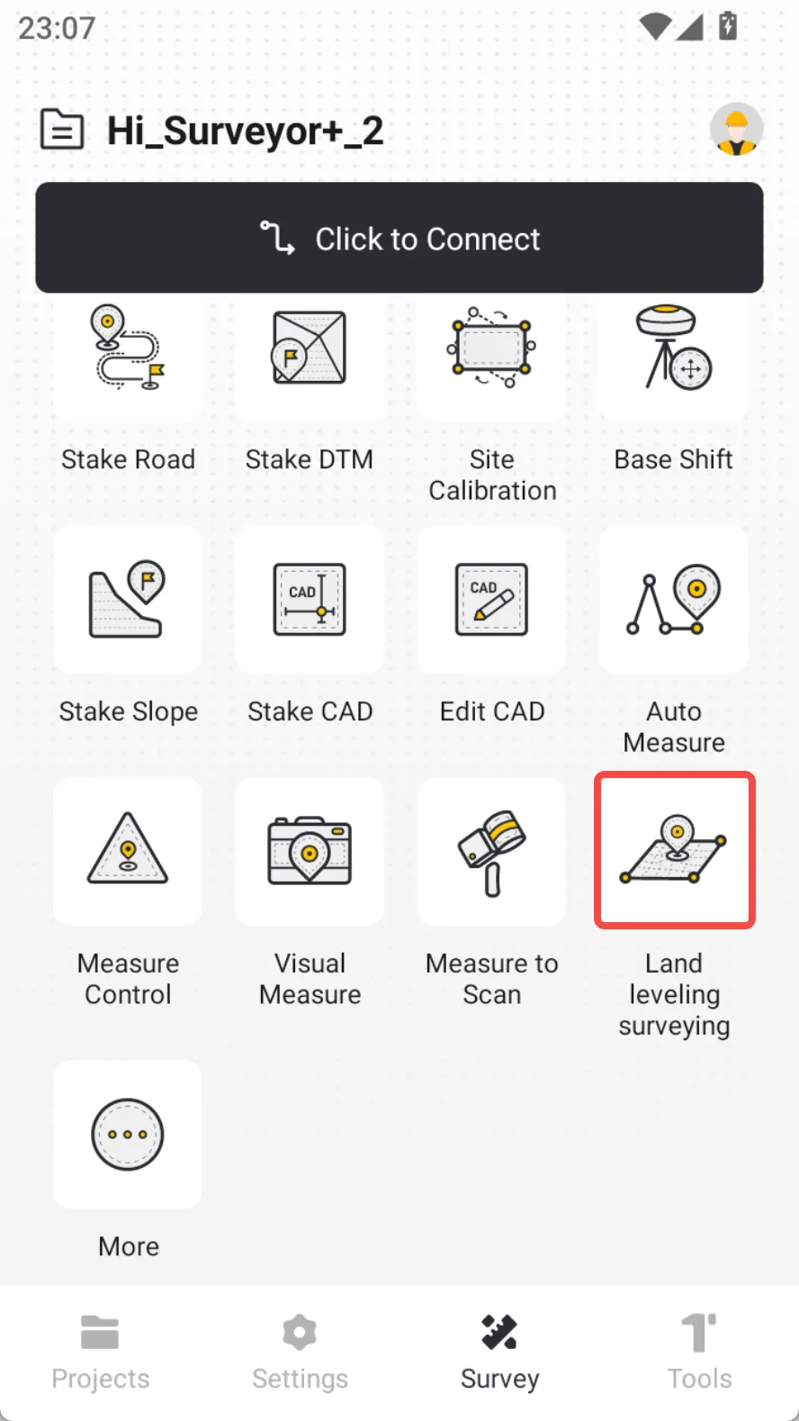
In order to cooperate with the grader operation, FJD RTK now supports Leveling Survey function, providing original data source for generating design surfaces for grader devices. Using FJD RTK mainly completes Data Acquisition work, including:
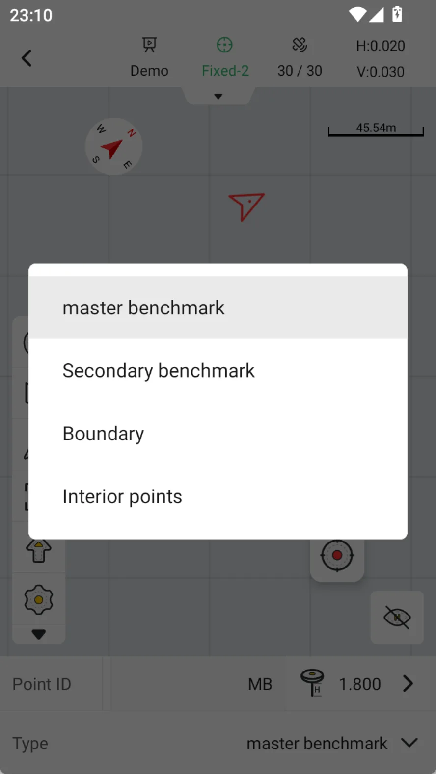
1. Master benchmark: It provides reference coordinates for project and is the most important reference point that must be collected.
2. Secondary benchmark: Users can collect secondary reference points as needed, which can be divided into auxiliary design points, marking points, and calibration points according to their usage. Optional collection is available.
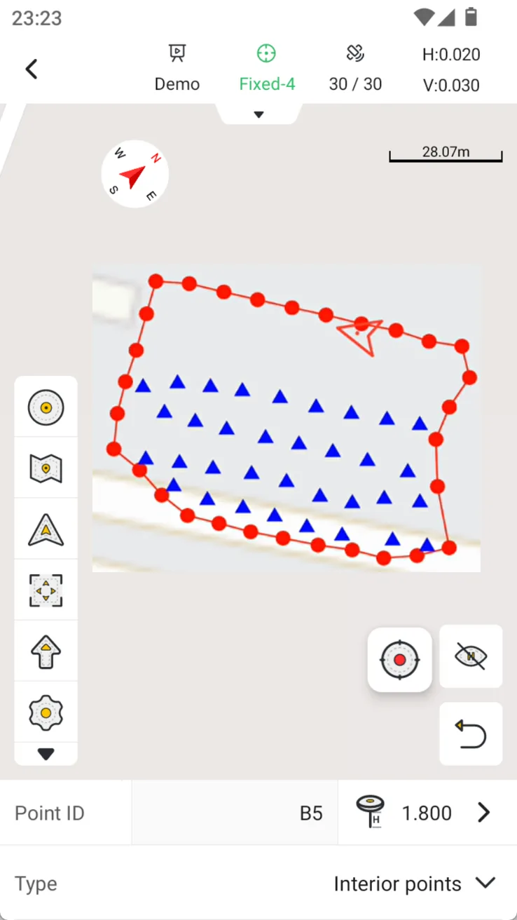
3. Boundary: The user drives the vehicle along the edge of the plot and collects terrain boundary data.
4. Interior points: The user drives the vehicle inside the plot and collects internal terrain data, trying to drive in a U-shape.
5. Export: Click the Export button in the toolbar, a pop-up window will appear to count the information collected by the current task. Click OK to open the export page, and the result is ags file. Export path: /Fjdynamics/TrionSurvey/Download.
 |  |  |
Note:
1. Master benchmark must be measured before selecting other types.
2. Boundary supports single-point acquisition and continuous point acquisition.
3. The perimeter of the boundary shall not be less than 18m, otherwise interior points cannot be selected for collection;
4. Interior points must be collected within the boundary. If they are outside the boundary, no data will be recorded.
5. When the interior point collection is completed, the interior point coverage rate will be counted. Please judge whether to continue the collection.
6. The results are exported as ags file, which can be recognized by grader devices